
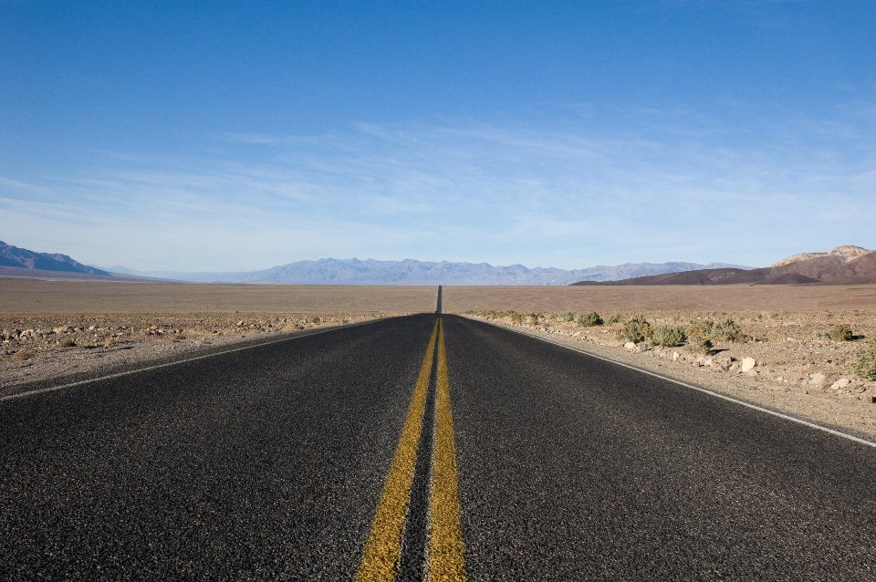
Utah’s Highway 12 runs 124 miles (200 km) from the junction with US-89 west of Bryce Canyon to the little town of Torrey at the door of Capitol Reef, and it has been designated an All-American Road, the highest honour the country gives a scenic drive. The western half, past Bryce and through the red rock of the Escalante country, is the part most visitors know. The eastern half, from Escalante to Torrey, is the part we love: 67 miles (108 km) that climb from slickrock desert to alpine forest and back, crossing a ridge with thousand-foot drops on both sides and a mountain pass above 9,000 feet (2,740 m). It can be driven in an hour and a half. We have never managed it in under three.
Table of Contents
Leaving Escalante
Escalante sits at about 5,800 feet (1,770 m) in a wide valley of hayfields and cottonwoods. Fill the tank here, because the next fuel is in Boulder, which has one pump and unpredictable hours, and after that nothing until Torrey. Leaving town eastbound, the road climbs quickly onto bare Navajo sandstone and the view opens at the Head of the Rocks overlook, a pull-out about 10 miles (16 km) from town. From here you look across a sea of white and gold slickrock domes, with the road visible as a thin grey line winding through it toward the canyon of the Escalante River far below. This is one of the great roadside views in the state, and it costs nothing but a moment.
The road then drops in long curves to the river crossing. There is a trailhead here for walks up and down the Escalante, and a few miles further on, the Calf Creek campground and the trail to Lower Calf Creek Falls, which we treat as a separate outing. If you are pressed for time, at least stop at the bridge and look up the canyon; in autumn the cottonwoods along the river turn a yellow that seems to be lit from within.
The Hogback
Between Calf Creek and Boulder the highway climbs onto the Hogback, a knife-edge ridge of sandstone with the road laid along its crest. For a couple of miles there is no shoulder and no guardrail to speak of; the ground falls away on both sides into the canyons of Calf Creek and Boulder Creek, several hundred feet down. It is not dangerous at a sensible speed, but it is genuinely exposed, and nervous passengers will want to sit on the uphill side. There are pull-outs at either end and one in the middle. Do not stop on the ridge itself. Photographs from the pull-outs, with the road curving off along the spine of rock, are the ones everyone takes home.
This section explains a piece of local history. Until the road was built, Boulder was so cut off by the canyons that its mail arrived by mule, and it was reportedly the last town in the country to receive mail that way, as late as 1940. The route the road follows was finished in stages; the paved connection over Boulder Mountain to Torrey was not completed until the 1980s, which makes the entire byway a young road for such an old landscape.
Boulder
Boulder is a scattering of ranches and houses at about 6,700 feet (2,040 m) at the foot of the mountain, with a population in the low hundreds. It is worth a pause for two reasons. The first is a small state park museum on the site of an Ancestral Puebloan village occupied between about 1050 and 1200, with the excavated foundations of dozens of rooms and a reconstructed dwelling you can enter. The second is the junction with the Burr Trail, a paved and then unpaved road that heads east through Long Canyon and over the Waterpocket Fold on a famous set of switchbacks into the southern part of Capitol Reef. That is a full day in itself; note it for another trip.
Boulder is also where the character of the drive changes. Behind you is desert. Ahead, the road begins to climb into the Dixie National Forest on the flank of Boulder Mountain, and within a few miles the pinyon and juniper give way to ponderosa pine, then to aspen and fir.
Over Boulder Mountain
Boulder Mountain is the southern edge of the Aquarius Plateau, a vast volcanic tableland whose top reaches above 11,000 feet (3,350 m) and is one of the highest plateaus in North America. The highway does not go to the top; it crosses a shoulder at roughly 9,600 feet (2,925 m), about 38 miles (61 km) from Boulder to Torrey. The climb is steady rather than steep, through some of the largest aspen stands in the state, and in the last week of September and the first of October the whole mountainside turns gold. That single week is, for us, the finest time to drive the road.
Three overlooks are signed on the way up and over, and all three are worth the stop. From Steep Creek and Homestead overlooks on the southern side, the view drops back over the slickrock country you have just crossed, all the way to the Henry Mountains and the Kaiparowits Plateau. From Larb Hollow overlook on the northern descent, you look east across the entire length of the Waterpocket Fold to the Henrys, with Capitol Reef’s cliffs a red line at the base of the view. Bring a jacket at every one of them; the pass is often 20 to 30 F cooler than Escalante, and wind is common.
The mountain holds around 80 small lakes in its forests, reached by dirt spurs and short trails, and there are forest campgrounds beside the highway that open from late spring to early fall. In winter the road is kept open but can close for hours during storms, and it is regularly icy on the shaded northern side into April. If you are crossing between November and March, check the state road report before leaving and carry chains or good winter tyres.
Down to Torrey
The northern descent is faster, through pine and then sage, with the red cliffs of Capitol Reef growing in the windscreen. Torrey, at about 6,800 feet (2,070 m), is a quiet town of cottonwood-lined streets 11 miles (18 km) from the park visitor center. The byway ends here at the junction with State Route 24.
Our advice for the drive is simple. Give it a whole afternoon, or better, a whole day with a walk at Calf Creek folded in. Drive it eastbound so the sun is behind you on the Hogback and ahead of you, low and warm, when you come down to Torrey. Stop at every overlook, because the plateau will hide the view at the next bend, and carry water, a jacket and something to eat, since between Escalante and Torrey there are perhaps three places to buy any of them and none of them keeps predictable hours. It is 67 miles from desert to alpine forest and back, and there is no other road in the country quite like it.