
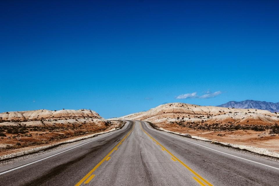
Ask us for a first trip to canyon country and we will almost always draw the same shape: a loop that starts at a big airport, touches Zion, climbs to Bryce Canyon, follows Scenic Byway 12 across the Escalante country to Capitol Reef, and comes back out the far side. Five days is the honest minimum for it. Four means driving every day; seven means you can add a slot canyon and an afternoon of doing nothing. Here is the version we hand to friends, with distances that hold up and the compromises spelled out.
Table of Contents
Choosing your airport
Las Vegas and Salt Lake City both work, and the loop is the same in either direction. From Las Vegas, Zion is about 160 miles (260 km) up the interstate, two and a half to three hours, so you can land in the morning and be in the canyon by mid-afternoon. From Salt Lake City, Capitol Reef is roughly 225 miles (360 km), three and a half to four hours, and you would run the loop backwards, finishing at Zion and driving back north, about 310 miles (500 km), on the last day.
The clock matters more than the mileage. Utah runs on Mountain Time; Las Vegas is on Pacific Time, one hour behind. Fly in early or accept that the first day is mostly getting there. If you have a choice, we prefer Las Vegas in spring and autumn and Salt Lake City in summer, when the drive across the northern desert is less punishing than the one across the southern one.
Day one and two: Zion
Sleep as close to the south entrance as your budget allows. For most of the year the scenic drive inside Zion Canyon is closed to private cars and served by a free shuttle, so the game is to be at the first bus of the morning. Ride to the end of the road and walk the paved Riverside Walk, 2.2 miles (3.5 km) round trip, before the crowds; wade a little way into the river beyond it if the water is low and the weather forecast is dry. Work your way back down the canyon on foot and by bus, stopping for the lower Emerald Pools and the Grotto.
The second day is for one big walk. The most famous ridge route in the park now needs a permit drawn by lottery, applied for well in advance or the day before; if you do not hold one, the trail up to the saddle below it is still a fine, steep, sunny climb with the same view of the canyon floor. Alternatively, drive east through the tunnel and walk the short canyon overlook trail on the far side, which delivers most of the drama for a fraction of the effort.
Day three: over the tunnel to Bryce
The road from Zion to Bryce is one of the pleasures of the trip. Leave the canyon by the Zion-Mount Carmel Highway, which climbs through switchbacks and a 1.1 mile (1.8 km) tunnel bored in the 1920s; large vehicles need an escort through it, arranged at the entrance, so check the size limits if you are in a camper. Beyond the tunnel the rock turns to white and cream checkerboard, then the road drops to the wide valley of the Sevier River. Turn north, then east onto Scenic Byway 12 through Red Canyon, whose small hoodoos are a preview of what is coming.
The whole leg is about 85 miles (135 km) and takes two hours without stops. Arrive at Bryce by early afternoon, walk the flat rim between Sunset and Sunrise Points, about 1 mile (1.6 km) each way, and then go down among the hoodoos on the Navajo Loop and Queen’s Garden combination, roughly 2.9 miles (4.7 km) with about 600 feet (180 m) of descent and climb. Stay for sunset, and if the sky is clear, come back for the stars. You are at 8,000 feet (2,400 m) now; bring a warm layer even in August.
Day four: Scenic Byway 12 to Capitol Reef
Give this day the whole day. Scenic Byway 12 from Bryce to Torrey is about 120 miles (195 km), and you could drive it in under three hours, but you should not. Stop at the viewpoints above the Escalante canyons, walk the sandy 6 mile (9.7 km) round trip to the lower falls in the Calf Creek drainage if you have the legs and it is not the heat of summer, and take the Hogback slowly: a stretch of road along a knife-edge ridge with the ground falling away on both sides. Past Boulder the road climbs over a forested mountain to nearly 9,600 feet (2,925 m), where aspens and cattle replace slickrock, before dropping to Torrey.
Capitol Reef rewards the last hours of light. Drive the short scenic road into the fold, walk into the narrows of Capitol Gorge, and finish at the historic orchards on the valley floor, where in season you can pick fruit for a small fee paid on the honour system.
Day five: Hickman Bridge, then out
An early start earns you the natural bridge trail, 1.8 miles (2.9 km) round trip with a modest climb, and the petroglyph boardwalk on the way back, before the drive out. To Salt Lake City it is about 225 miles (360 km) north, most of it on interstate. To Las Vegas it is roughly 330 miles (530 km), five hours or more, back west along the interstate through the high desert. Both are long but straightforward, and both reward leaving by late morning.
The compromises, honestly
Five days is a taste, not a meal. To keep the loop workable we have left out things that deserve their own days, and you should know what they are:
- Cedar Breaks, a higher, colder cousin of Bryce at over 10,000 feet (3,050 m), an hour west of the loop and closed by snow for much of the year.
- Kanab and the lower Grand Staircase, including the coral pink dunes, a detour south of the Zion to Bryce leg that adds a night.
- Any slot canyon on the Hole-in-the-Rock Road, which needs a high-clearance vehicle, dry weather and a full day from Escalante.
- Bryce’s southern viewpoints beyond Sunset Point, reachable on the 18 mile (29 km) park road but easy to sacrifice when time is short.
If you can stretch to six or seven nights, add a second night at Bryce and one at Escalante. If you cannot, run the five and start planning the return; almost everyone does.